
What is Reddit's opinion of
Custom Maps?
From 3.5 billion Reddit comments
Popularity Score: 8
This app was mentioned in 8 comments, with an average of 1.13 upvotes
Best Comments
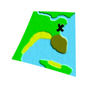
You can use this Custom Maps app to see your GPS position on the picture of the above map. I did it for Sea World and it was very handy!
I use an app called 'custom maps'. I just went houseboating and we got a map showing beaches and areas to go to. I took a photo of the map and the app allows me to pin spots on it to match up with Google maps. Then the app displays my gps location on the photo of the map which can be panned and zoomed. I have also used it for hiking trails and amusement parks. The map does obviously have to be drawn to scale. Other info shown is elevation, speed, Lat and long, heading and distance from the center of the screen. It's like always having access to a "you are here" map https://play.google.com/store/apps/details?id=com.custommapsapp.android
Try custom maps which converts a photo of a trail map into something you can use to follow your location using GPS.
You might try this app.
Custom Maps works OK.
https://play.google.com/store/apps/details?id=com.custommapsapp.android&hl=en
It's a little tedious to set up, but it lets you overlay an image on Google maps.
Or just download a free app and use it in any location that you want. Here's the android version: https://play.google.com/store/apps/details?id=com.custommapsapp.android&hl=en