
What is Reddit's opinion of
WATisRain?
From 3.5 billion Reddit comments

Popularity Score: 8
This app was mentioned in 10 comments, with an average of 7.60 upvotes
Best Comments
If you have android you can download the WatIsRain app. Haven't used it in a while so I'm not sure if it's updated with the recent construction.
But yeah, with the new SLC bridge you can essentially get to any buildings like E7, DWE, CPH, without ever having to go outside, which is pretty cool.
Thats almost the same degree of retarded genius as the app that tells you how to spend the least amount of time outside on campus.
Edit: WatisRain
For android, watisrain, I think there's something similar for iOS.
However, it's probably worth spending a few hours exploring the different connections between buildings on your own.
> https://play.google.com/store/apps/details?id=com.lucky.watisrain&hl=en
> https://github.com/luckytoilet/WATisRain
LOL, that's super professional for a resume! He should consider joining /u/ireallyhadtopoop to be a mod for /r/pcbsd! I hear iXsystems is hiring!
Winter-wise, it can get fairly cold in the winter, but there are heated paths between all the math/science/engineering buildings on campus( and there are apps to help you navigate these paths), if you want to avoid walking outside on campus. Otherwise, having a few extra layers and a decent winter coat should make it a fairly tolerable experience.
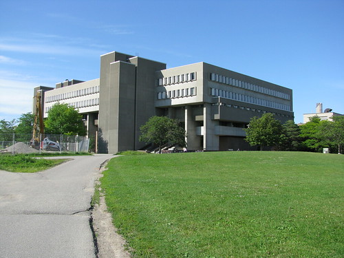
As for architecture, as others have mentioned, the promotional photos used nicer/newer buildings on campus, and this is probably a better representation of the architecture at UW. If you're looking for more historical campuses, other schools like UGuelph/UToronto are probably worth a visit.
It looks like it's still on the Android app store. Unless you mean the Apple store?
Built using Metro Map Maker. Inspired by /u/icechen1's post. Based on data from WATIsRain and the UW map.
Edit: Updated map and souce. Thanks to /u/TheBioBoy for finding where E8 and E9 will go, and /u/AvHoff for pointing out the EIT-DC link went to E3 instead of DC.
The real "secret" tunnels are usually maintenance tunnels that are now locked and are monitored by motion-sensors.
What people are usually talking about when they mention tunnels are the network of buildings, tunnels, and walkways that allow you to navigate through the campus while minimizing your time outside (useful when it's raining and you don't have an umbrella, when it's cold af outside, etc.). There are a bunch of apps that you can get, which will direct you along your chosen route—I believe WATisRain is available on both Android and iOS.
download watisrain if you are on android
The regular uwaterloo map ( e.g. https://uwaterloo.ca/map/?basemap=D#map=17/43.4703/-80.5422 ) shows tunnels in dotted line and overpasses.
There is also https://play.google.com/store/apps/details?id=com.lucky.watisrain and https://itunes.apple.com/us/app/watisrain/id1021882430
via (https://uwaterloo.xyz/) which has turn by turn indoor directions