
What are
/r/grandcanyon's
favorite Products & Services?
From 3.5 billion Reddit comments
The most popular Products mentioned in /r/grandcanyon:


The most popular Services mentioned in /r/grandcanyon:
The Weather Channel
AllTrails
TripAdvisor
FatSecret
AccuWeather
The most popular reviews in /r/grandcanyon:
This is last August at Tusayan, just outside the South Rim, so basically the same weather. Inner canyon will be much hotter. Temps cool down to pleasant at night. I have only stayed at Bright Angel Lodge, they did not have air, but it was nice.
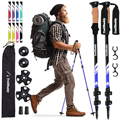
Sure thing! You’re definitely ahead of the game if you’re in good shape, too! The poles I used are from Cascade Mountain and they absolutely saved me on my last trip! Some other “budget” gear I use include the Sawyer micro squeeze for water filtration and the Z Lite Sol sleeping pad from Thermarest. Basically I have tried to go lightweight in a budget (because I am not rich lol). https://www.amazon.com/Cascade-Mountain-Tech-Aluminum-Collapsible/dp/B01L5YWW7I/ref=mp_s_a_1_2_sspa?dchild=1&keywords=cascade+mountain+tech+trekking+poles&qid=1622846380&sprefix=cascade+mou&sr=8-2-spons&psc=1&spLa=ZW5jcnlwd...
This seems like a well versed group who could answer a quick question I have about weather/temperature: is the inner canyon really 15 degrees* ish warmer than the rim?
I'm planning a weekend camping trip for October 26th and plan to stay at Indian garden. Temps are forecasted to be exactly 30 degree at night via this link https://weather.com/weather/tenday/l/Flagstaff+AZ?canonicalCityId=619db793f155250ac49bea7765a7e7385fde764575db6944e4b8d265ee0e0537
If this is the most accurate location for Indian garden (it may not be), then that means I should expect 40-45 degrees at night? If that's the case, I'm good bc I already have a 40 degree quilt...however, if I'm incorrect, then I'll need to go buy a new bag that's rated for colder temps :)
Thanks for your support and interest. Hope I'm not usurping this thread
https://play.google.com/store/apps/details?id=com.giobat.AgpsTrackerPP
You can download trail and elevation maps and generate local topo maps on demand. Pretty handy, IMO. And free.
"The Last Canyon" by John Vernon is good, too -- it's a fictionalized account of the Powell Expedition, told from the perspective of Powell's crew, and a small band of Native Americans who would eventually cross paths with them.
Many of the other comments have excellent advice.
I worry, though, about "moderately active [not sure how to calibrate that] first-time backpackers" taking on a first-time Grand Canyon hike in the hottest time of the year. It's easy to underestimate the heat standing at the top, and by the time you realize you have a problem you're typically deep down in the Canyon and have a long hike back to the top. Heck, in GC even the lizards estivate in June. :)
I recommend reading this post about deaths in GC by month, and also the book Over The Edge: Death in Grand Canyon. In the end it's your decision whether to do the hike in June or not, but you should at least have a good understanding of what you'd be signing up for.
what are the temperatures like at the south rim? I'm going soon and I'm seeing conflicting temperatures. Weather.com says upper 90s for "Grand Canyon", both Accuweather and Weather.gov say upper 70s to low 80s for "Grand Canyon Village". That's a huge difference.
GCNP as well as Bryce and Zion are at pretty high elevations so night time temps are cool. Deserts below 2-3000 feet stay hot at night. Do not camp at Needles! Most weather sites have an Almanac page that shows average temps monthly through the year for most locations.
That's a really important issue you've brought up -- thank you. Here's how I got that number. I make my own dehydrated food, and the recipe I use for breakfasts and dinners is a ground beef stew fattened up with coconut cream, which has the following ingredients (the nutritional info for various ingredients are taken from https://www.fatsecret.com/calories-nutrition/):
​
| Ingredient | Amount | Total fat (g) | Total carbs (g) | Total protein (g) |
|---|---|---|---|---|
| ground beef (73% lean) | 2 lbs | 240 | 0 | 136 |
| olive oil | 2 tbsp | 27 | 0 | 0 |
| onion (large) | 1/2 | 0 | 5.5 | 0.5 |
| bell pepper | 1 (about 1/2 lb) | 0.5 | 11 | 1.8 |
| potatoes | 1 lb | 0.45 | 71.3 | 7.6 |
| butternut squash | 20 oz | 0.6 | 82 | 10 |
| kidney beans (1 can = 1 lb) | 1 can | 0 | 64 | 23.6 |
| chick peas (1 can = 1 lb) | 1 can | 7 | 70 | 20.9 |
| coconut cream (1 can = 13.5 fl oz) | 1 can | 133.3 | 0 | 20 |
| Total | 409 | 304 | 220 |
Assuming 4 calories per gram of carb and protein and 9 calories per gram of fat, this totals up to about 5775 calories. When I dehydrate this, it dehydrates down to about 30 oz, so I end up with about 5775/30 = 192.5 calories per ounce (it's possible that some of the oil may have evaporated away during dehydration so the actual calorie count may be a little lower, but hopefully not a huge amount).
So anyway, that was the math my calorie estimate was based on. This is not something I'm an expert on, so if you see any flaws in my reasoning please let me know, that would be greatly appreciated.
You really need to read these replies to another person who asked about West Rim on TripAdvisor. You're not headed for anything like the Grand Canyon you've seen photos of.
/u/jakdak may sound insensitive when s/he repeatedly urges you to change plans and go to the South Rim, but you should consider it. Since you're driving rental car, even that's possible from Vegas.
What are you intending on doing with your devices?
Will you have the GoPro on running 24/7 at full quality the whole time, or are you only going to use it when going through rapids, or on hikes?
Same with your regular camera and phone. Those would be tucked away and turned off I would imagine for a good chunk of things.
It helps to calculate your power load - how many mA/hrs does the GoPro battery provide, how long will it last, and then how many times do you need to charge it to get what you need/want? Repeat as necessary with camera batteries and AAA and so on.
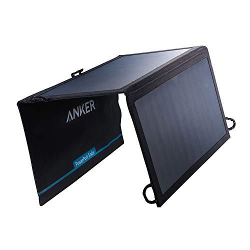
I did a similar trip to the Alaska wilderness a few years ago, though the longest I was without a place to recharge was 12 days. I survived and my electronics survived with way more power than I thought. I suggest getting a few USB power bricks. You can get solar charging ones if you want, but I wouldn't bank on them providing enough unless you spend some serious money on things. I would also recommend you get some USB charging adapters for the AAA, GoPro, and camera batteries. This way you can carry a few large battery banks and recharge the others at night.
Also, as this is going to be a water trip, a good quality dry bag is essential. I used a few of these on my Alaska Trip, everything stayed nice and dry.
I have this one https://www.amazon.com/dp/B012YZXMZS/ and had a couple ~20k power banks. Seemed to work well. I never had a power issue (probably wouldn't have even needed to charge up the power banks) but granted this was summer.
Biggest benefit of a case is it also offers impact protection. I carried mine on hikes through slot canyons and I was glad I didn't have to worry as much about my camera getting banged up. But double bagging to keep it dry isn't a bad idea otherwise.
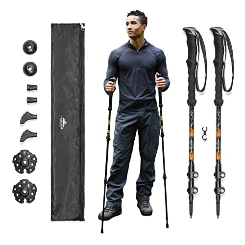
That's good to know! I'll keep an eye out on the weather a few days before arriving. Also, would these suffice?
I agree with this! I've always used the NatGeo maps, until i came across another group with a Sky Terrain version of the same map. It lists mileage on trails as well as climb ratings which helps to gauge which parts of the trail are going to be a beast. I would also suggest downloading quads of the particular trail and doing some research to know exactly what to expect. I recently learned this on the Escalante trail, as they have some trouble spots (damn you 75 mile canyon!) that the quads outlined details my other map didn't.
Without a doubt, get this one: https://www.amazon.com/Grand-Canyon-Trail-Map-5th/dp/0966550846